
Mapping
Kakhovska Dam
Next Stages of the project: Mapping Uncertain Landscape.
Together with scientifiic collaborator Anatolii Chernov (PhD) will look at vegetation data of the region and develop an algorithm for processing data gathered from the crop monitoring satellite.
I am focusing on exploring the ecological repercussions of the ongoing war in Ukraine and its impact on the landscape. With a particular emphasis on the heavily affected regions in the South and the destruction of the Kakhovska Dam in June of 2023.
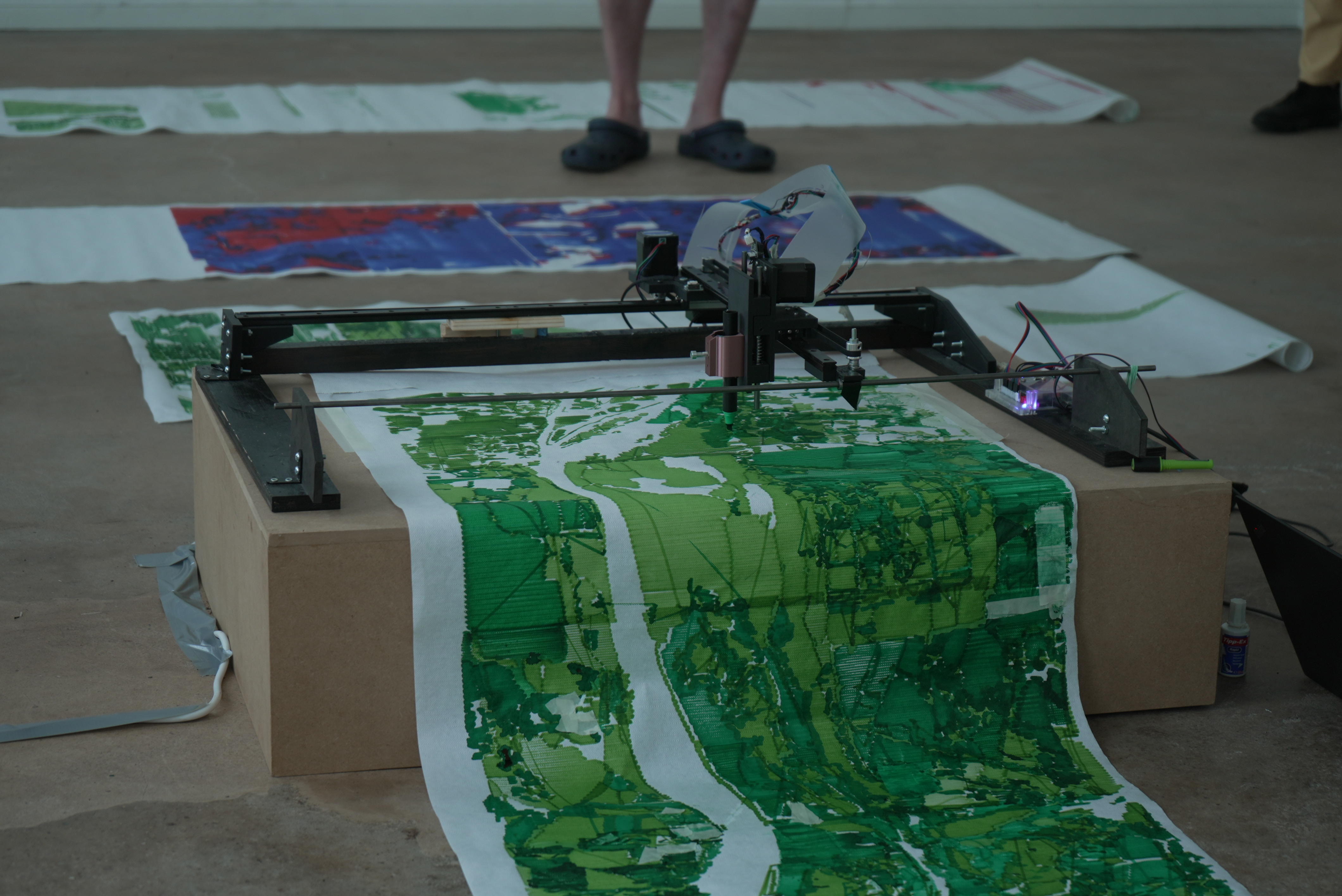
Together with ecologists and earth scientists, I aim to create an extensive series of maps tracking the changes in vegetation levels of the Southern Ukraine. All the maps will be created by my own personal map-making machine, a prototype of which I’ve designed for my graduation project at la HEAD. For the next stages of the project, I will construct new printing machines as well as make adjustments to existing ones. Together with the industrial designer, enhances the mechanism for paper placement and pen-gripping. Allowing me to create larger, more diverse, and distinct maps of the region. Through this artistic exploration, I hope to shed light on the intricate ecological dynamics and their changes amid the war-ravaged landscapes of Ukraine.
Team: Hsuan Lee, David Heritier, Anatolii Chernov
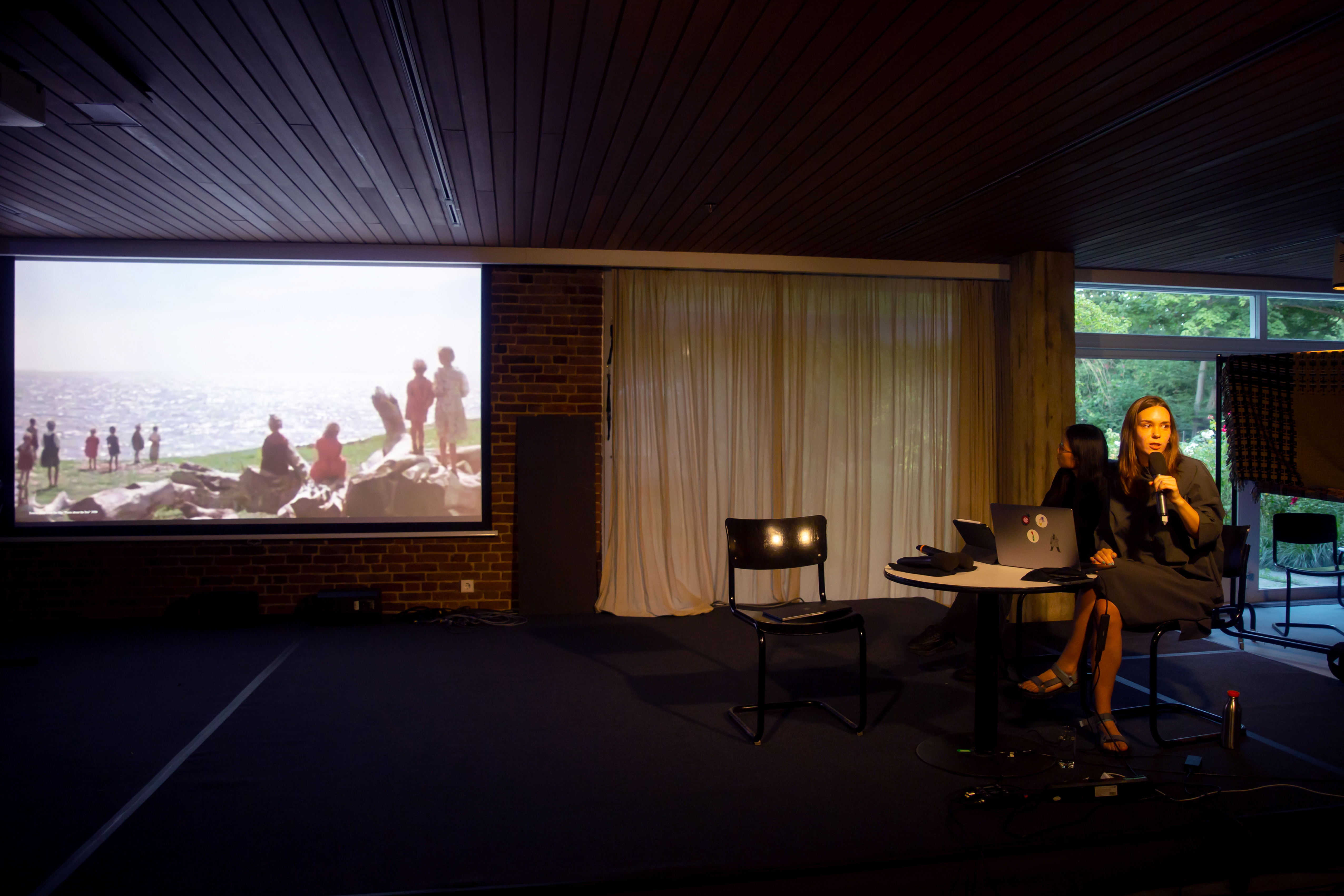
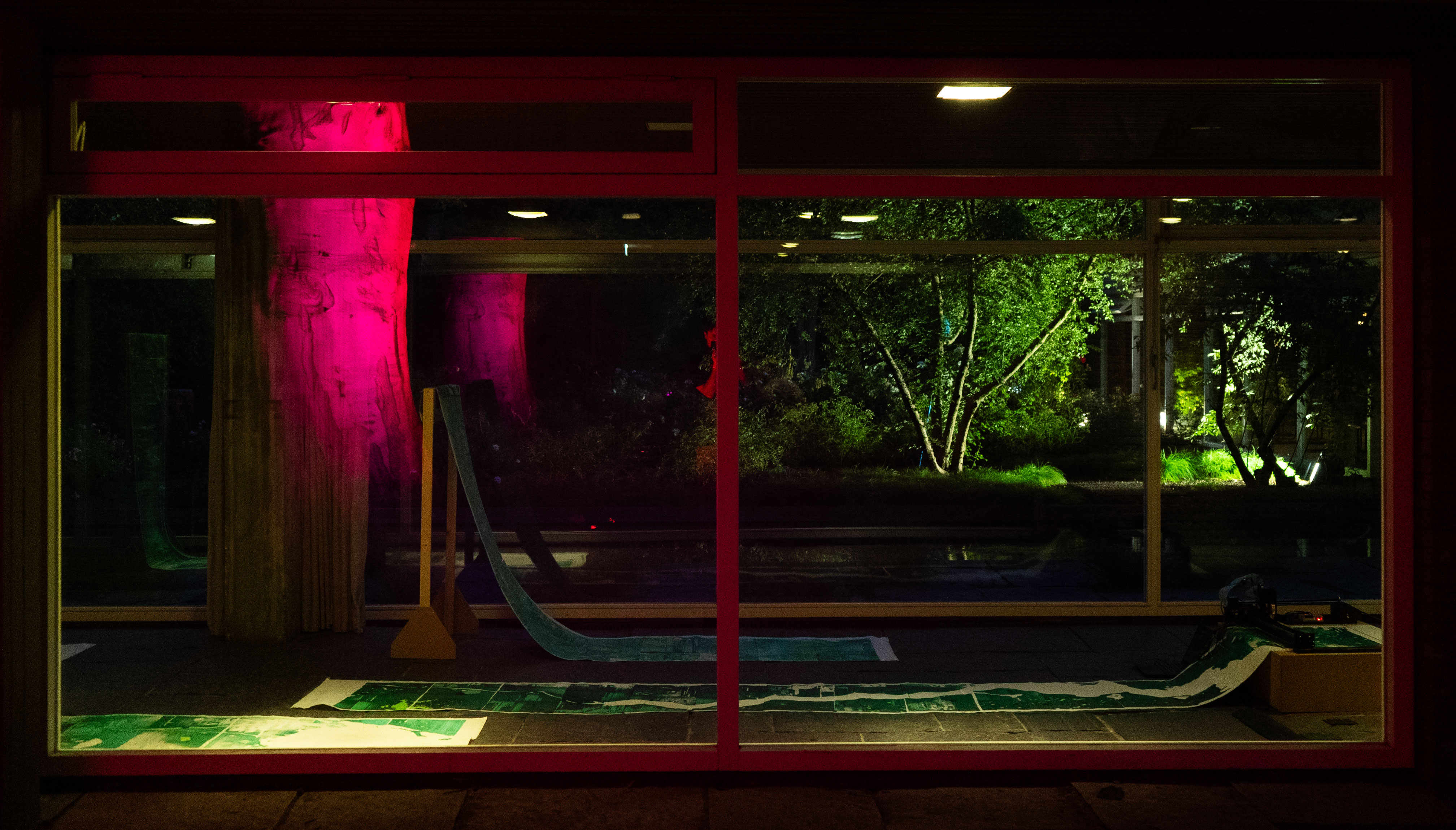
Photography: Sebastian Reinicke, Stefanie Walk


Documentation process of printing

The devastation caused by the destruction of the Kakhovska Dam
is notably heartrending, given the extensive harm inflicted upon the ecosystem, drinking water, local population, their homes. As well as affecting the normal function of the nearby Zaporizhzhia Nuclear Power Plant. The fragile climate of Southern Ukraine suffered a disruption that will reverberate for years ahead. Recognizing the urgency, documenting this destruction, delving into its aftermath, and bearing witness to the changes in the landscape brought by Russia emerge as imperative tasks for scientist, climate activists and artist.
is notably heartrending, given the extensive harm inflicted upon the ecosystem, drinking water, local population, their homes. As well as affecting the normal function of the nearby Zaporizhzhia Nuclear Power Plant. The fragile climate of Southern Ukraine suffered a disruption that will reverberate for years ahead. Recognizing the urgency, documenting this destruction, delving into its aftermath, and bearing witness to the changes in the landscape brought by Russia emerge as imperative tasks for scientist, climate activists and artist.